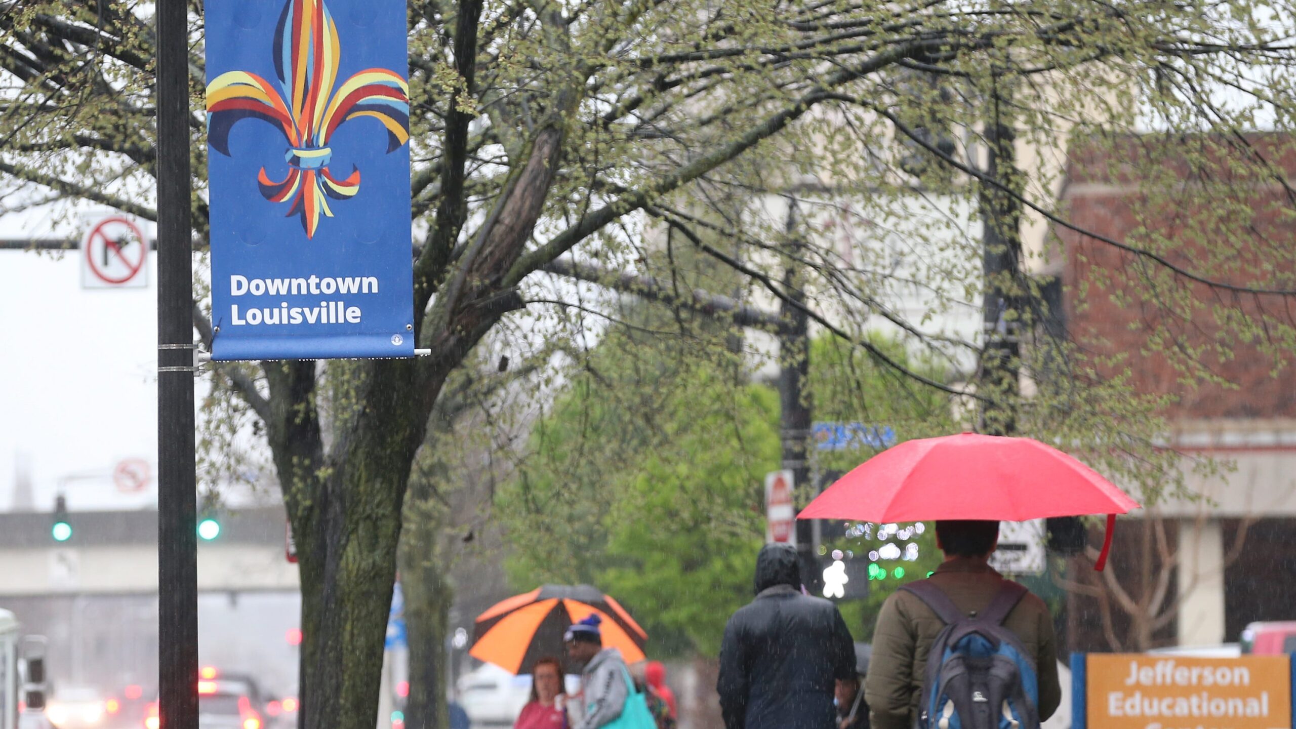
The Louisville metro area and surrounding regions in Kentucky, Indiana, and Ohio faced a night of severe weather on Sunday, March 30, 2025. A tornado watch was issued, accompanied by threats of scattered hail and wind gusts reaching up to 80 miles per hour. The storms left nearly 20,000 residents without power, prompting urgent safety advisories. This article provides a detailed overview of the events, including the timeline of warnings, affected areas, and essential safety measures for those impacted by the severe weather.
Understanding the progression and potential impact of such weather events is crucial for community preparedness and safety. This recap aims to keep residents informed and equipped with the knowledge to navigate similar situations in the future.
Widespread Power Outages Across Louisville
The severe storms led to significant power outages across the Louisville area. LG&E and KU reported that nearly 20,000 customers were without power as of 10:16 p.m. Initial reports indicated that the outages were mainly concentrated in Louisville’s South End and parts of east Jefferson County. The utility companies urged residents to stay away from downed wires, emphasizing that all downed wires should be considered energized and dangerous. Residents were advised to report outages via text, mobile app, online, or by phone.
The outages underscored the importance of preparedness during severe weather events. Ensuring access to backup power sources and knowing how to report outages are crucial steps for residents to mitigate the impact of such situations.
Tornado Warnings Issued for Multiple Counties
The National Weather Service issued multiple tornado warnings as the severe weather system moved through the region. At 10 p.m., a “severe squall line,” capable of producing tornadoes and extensive straight-line wind damage, was located over Fern Creek and moving east at 45 miles per hour. Tornado warnings were subsequently issued for Shelbyville, Elk Creek, and Taylorsville until 10:30 p.m., following earlier warnings in south Jefferson County. Warning sirens were activated in parts of Jefferson County as of 10:09 p.m.
These warnings highlighted the dynamic nature of severe weather events and the importance of staying vigilant and informed. Residents were urged to seek shelter immediately upon hearing warning sirens or receiving alerts.
Timeline of Weather Alerts
The National Weather Service issued a series of alerts throughout the evening as the storm system progressed. At 9:52 p.m., tornado warnings expanded from Bullitt County into south Jefferson County, including Jeffersontown, West Buechel, and Heritage Creek. The warning also included Bardstown, Shepherdsville, and Lebanon Junction. Prior to this, at 9:46 p.m., a tornado warning was announced for Mount Washington, Hillview, and Brooks, along the Jefferson and Bullitt County border, lasting until 10:15 p.m. The agency reported that a “dangerous line of severe storms capable of destructive winds and tornadoes” was moving toward Interstate 65 and the Louisville area as of 9:35 p.m.
This rapid succession of warnings demonstrated the need for residents to have multiple ways to receive weather alerts and to act quickly when warnings are issued.
Enhanced Risk of Severe Weather
Kentucky and southern Indiana were under an enhanced risk of severe weather, categorized as the third-highest of five levels by the National Weather Service. Earlier on Sunday, the weather service indicated a greater than 10% chance of strong tornadoes (EF-2 or greater) for the Louisville metro area. Western, central, and northern Kentucky faced the same threat. NWS Louisville meteorologist Tom Reaugh emphasized the potential for strong, gusty winds, isolated tornadoes, hail, and flash flooding.
The enhanced risk level underscored the severity of the weather event and the importance of taking precautions to protect life and property.
Significant Temperature Drop Contributes to Storms
In Louisville, temperatures were expected to drop around 25 degrees Fahrenheit on Sunday night, from a high of about 75 degrees. Forecasters noted that this quick shift from warm weather to cooler conditions was a significant factor contributing to the intensity of the storms. The combination of warm, moist air and an approaching cold front created an unstable atmosphere conducive to severe weather development.
Understanding the meteorological factors that contribute to severe weather can help residents anticipate and prepare for such events.
Multiple Ways to Receive Alerts
National Weather Service officials stressed the importance of having multiple ways to receive weather alerts. Residents at risk of facing severe weather should ensure they have access to weather radios, smartphone apps, and local news outlets. Relying on a single source of information can be risky, as communication systems may fail during severe weather events. Having backup options ensures that individuals receive timely and potentially life-saving warnings.
Proactive preparation and access to reliable information are key to staying safe during severe weather.
Conclusion: Staying Safe During Severe Weather
The severe weather event on March 30, 2025, serves as a reminder of the importance of preparedness and vigilance. Residents in affected areas should stay informed, have multiple ways to receive weather alerts, and know how to report power outages. Staying away from downed power lines and seeking shelter during tornado warnings are critical safety measures. By taking these steps, individuals and communities can mitigate the risks associated with severe weather and ensure their safety.
This event highlights the need for ongoing education and awareness about severe weather preparedness to protect lives and property in the face of unpredictable weather patterns.

Leave a Reply