Chicagoland is set to experience a delightful taste of spring this weekend, with forecasts predicting the second-warmest days of the year. After a seasonably chilly Friday night, residents can look forward to mostly sunny skies and climbing temperatures on Saturday. However, those near Lake Michigan should prepare for cooler conditions due to onshore breezes.
This article delves into the specifics of the upcoming weather, providing a detailed breakdown of what to expect throughout the weekend. From Saturday’s sunshine and mild temperatures to Sunday’s warmer surge and potential showers, we cover all aspects of the forecast. Additionally, we’ll explore the extended outlook for the coming week, including temperature trends and potential precipitation.
Whether you’re planning outdoor activities or simply curious about the changing weather patterns, this comprehensive guide will equip you with the knowledge you need to make the most of the weekend and prepare for the week ahead. Stay informed and stay ahead of the elements with FYM News’ in-depth weather coverage.
Saturday: Sunny Skies and Mild Temperatures for Chicago
Saturday promises a welcome change from the recent chilly weather, with mostly sunny skies expected across Chicagoland. A center of high pressure positioned over southern Illinois will contribute to the abundance of sunshine and relatively light winds throughout the day. Away from the lake, temperatures are predicted to surge into the lower 60s, creating ideal conditions for outdoor activities.
However, those residing near Lake Michigan should be aware of the potential for lake cooling. Onshore breezes will promote cooler temperatures in areas within several miles of the lake, with highs potentially topping out near 50 degrees before settling back into the mid-40s in the afternoon. Plan accordingly if you’re near the lakefront!
As the evening approaches, cloud coverage will gradually return, bringing with it the chance for a few light showers after midnight. While rainfall is expected to be light, it may be enough to wet the ground in some locations. Be sure to keep an umbrella handy if you’re planning to be out late.
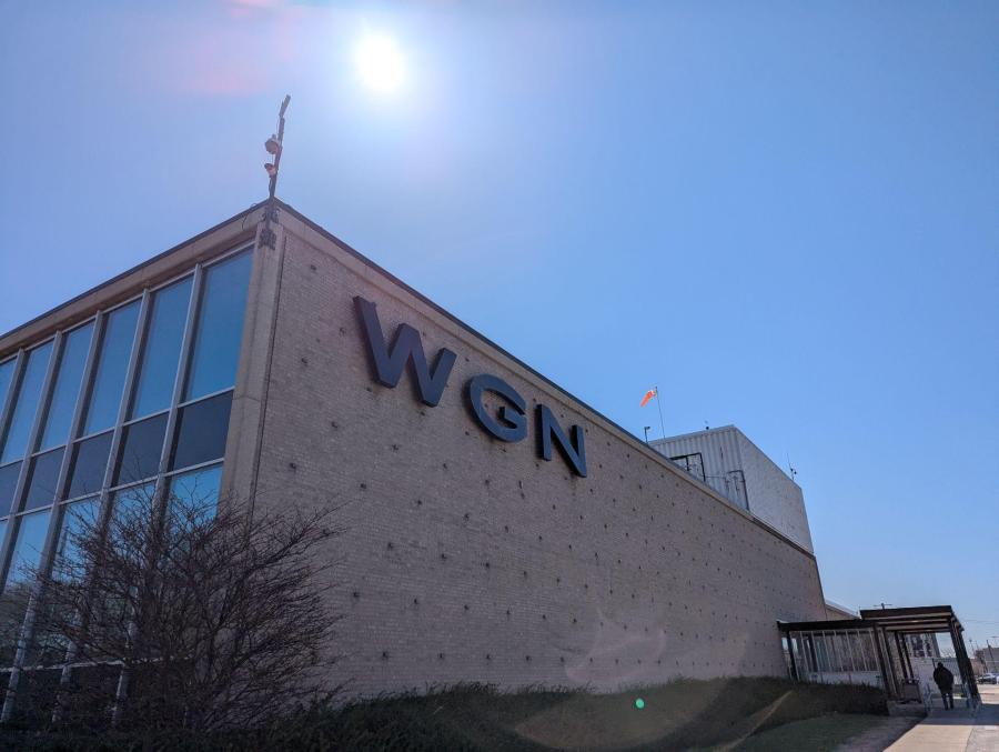
“A slight warm up is offering a taste of spring across Chicagoland this weekend,” reports Demetrius Ivory of WGN Chicago.
Sunday: Warmer Air and a Chance of Showers
Sunday will bring a noticeable shift in weather patterns, with a mix of sunshine and increased cloud cover expected throughout the day. Winds will be noticeably stronger out of the south, pumping warmer air into the region. This will lead to a significant surge in temperatures, with highs reaching well into the 60s for most of the area.
Once again, the exception will be areas near Lake Michigan, particularly along the north shore. The lake effect will likely keep temperatures cooler in these locations, so be sure to factor that into your plans if you’re near the lakefront.
With the warmer air comes an increased chance of showers. Be prepared for the possibility of some light rainfall throughout the day, and keep an umbrella handy just in case.
“Winds will be noticeably stronger out of the south, pumping warmer air into the region,” notes the WGN Chicago forecast.
Second Warmest Weekend of the Year
The back-to-back highs in the 60s will officially make this the second warmest weekend of the year so far. The only weekend warmer occurred March 29-30, when highs reached 71 degrees and 75 degrees respectively. This weekend’s mild temperatures offer a welcome respite from the cooler weather that has prevailed in recent weeks.
Those looking to enjoy the outdoors should take advantage of the pleasant conditions, as the warmer temperatures may not last for long. Be sure to check the forecast regularly for updates on any potential changes in the weather.
Whether you’re planning a picnic, a hike, or simply a stroll through the park, this weekend provides the perfect opportunity to soak up the spring sunshine and enjoy the milder temperatures.
Extended Outlook: Mild Temperatures and Potential Showers
Looking ahead to the extended outlook, the forecast calls for continued mild temperatures in the mid to low 60s for Monday, with lots of clouds and some showers. A cold front will bring the chance for a few widely scattered showers Monday morning, followed by cooler temperatures next week.
Tuesday and Wednesday are expected to be cooler, with seasonal mid-to-upper 50s and partly sunny skies. Temperatures will then rebound back to the low 60s on Thursday, with some showers and clouds also expected.
The extended forecast indicates a pattern of fluctuating temperatures and occasional precipitation throughout the coming weeks. Be sure to stay tuned to FYM News for the latest updates and forecasts.
Long-Term Temperature Trends
Examining the long-term temperature trends, several regions of blue on the forecast maps represent troughs, indicating areas of cooler, unsettled weather. These troughs are expected to originate out of Canada and dip into the Great Lakes and Northeast, bringing chances for precipitation and cooler temperatures at times.
The forecast for the full day temperature anomaly over the next seven days, through April 17, indicates a mix of above-average and below-average temperatures across the region. Meanwhile, the forecast for the full day temperature anomaly from April 18 through 24 suggests a return to more consistently above-average temperatures.
These long-term trends provide valuable insights into the overall weather patterns expected in the coming weeks, helping residents prepare for potential temperature fluctuations and precipitation events.
Conclusion: A Weekend of Mild Temperatures and a Look Ahead
In summary, Chicagoland is gearing up for the year’s second-warmest weekend, with Saturday promising sunny skies and mild temperatures, followed by warmer air and a chance of showers on Sunday. Those near Lake Michigan should be aware of potential lake cooling, while everyone should stay tuned to FYM News for the latest updates and forecasts.
The extended outlook calls for continued mild temperatures and occasional precipitation in the coming weeks, with long-term temperature trends indicating a mix of above-average and below-average conditions. By staying informed and prepared, residents can make the most of the changing weather patterns and enjoy all that spring has to offer.
As always, be sure to check back with FYM News for the latest weather updates and information. Stay safe, stay informed, and enjoy the weekend!
Leave a Reply