A dangerous weather situation is unfolding in New Castle County as a tornado warning and a flash flood warning have been issued. Residents are urged to take immediate precautions to ensure their safety. This article provides comprehensive information on the warnings, safety measures, and the potential impact of the severe weather.
Understanding the severity of these warnings is crucial for protecting yourself and your loved ones. The National Weather Service has issued these alerts due to the imminent threat of tornadoes and flash floods, which can both cause significant damage and pose life-threatening risks. Stay informed and be prepared to act quickly.
This article will cover the details of the tornado and flash flood warnings, including the affected areas, the timing of the warnings, and the specific hazards associated with each. Additionally, it will offer practical advice on how to stay safe during these events, whether you are at home, in your car, or outdoors.
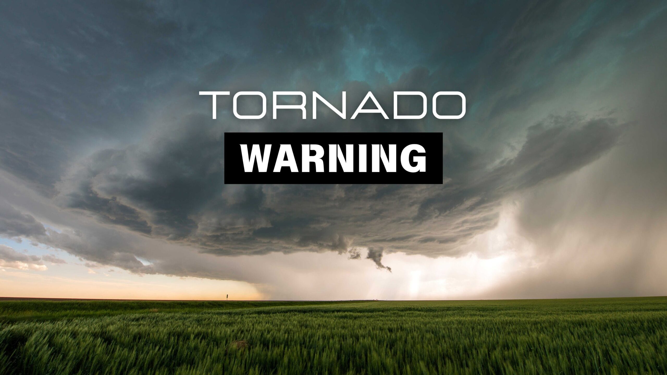
Tornado Warning in Effect
The National Weather Service in Mount Holly, New Jersey, issued a tornado warning for part of New Castle County effective from 10:55 p.m. until 11:30 p.m. on May 30. This urgent warning calls for immediate action to seek shelter and protect oneself from potential harm.
A severe thunderstorm capable of producing a tornado was located near Glasgow, moving north at 30 mph. According to the NWS, “Flying debris will be dangerous to those caught without shelter. Mobile homes will be damaged or destroyed. Damage to roofs, windows, and vehicles will occur. Tree damage is likely.”
Safety Measures:
- Move to a basement or an interior room on the lowest floor of a sturdy building.
- Avoid windows to protect yourself from flying debris.
- If outdoors, in a mobile home, or in a vehicle, seek the closest substantial shelter.
Flash Flood Warning in Effect
In addition to the tornado warning, a flash flood warning has been issued for New Castle County, remaining in effect until 2:30 a.m. EDT on May 31. Heavy rainfall across the warned area has already resulted in between 0.5 and 1 inch of rain, with an expected rainfall rate of 1 to 2 inches per hour.
The NWS warns of “Flooding of small creeks and streams, urban areas, highways, streets, and underpasses as well as other drainage and low lying areas.” Areas that may experience flash flooding include Wilmington, Newark, Middletown, and surrounding areas.
Safety Measures:
- Avoid walking or driving through floodwaters.
- If advised to evacuate, do so immediately.
- Move to higher ground if you are in a flood-prone area.
Live Weather Radar
Stay updated with the latest weather conditions using live weather radar. Monitoring the radar can help you anticipate changes in the weather and take necessary precautions.
Local Weather Radar: 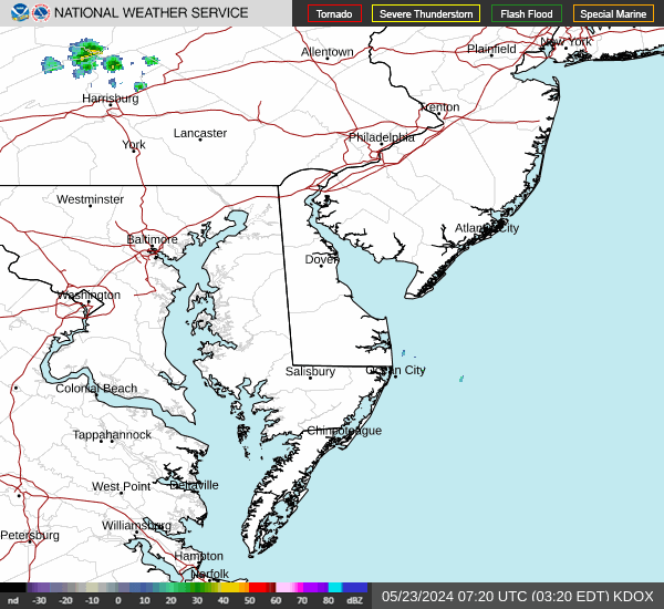
Official Statements from the National Weather Service
The National Weather Service has provided detailed statements regarding the severe weather conditions:
Tornado Warning Statement: “At 11:10 p.m. EDT, a severe thunderstorm capable of producing a tornado was located over Glasgow, or near Elkton, moving north at 30 mph.”
Flash Flood Warning Statement: “At 10:26 p.m. EDT, Doppler radar indicated heavy rain across the warned area… Additional rainfall amounts of 1 to 3 inches are possible in the warned area.”
Tornado Safety Tips
Knowing what to do during a tornado can save your life. Here are essential safety tips from the NWS:
- Get as low as possible, ideally in a basement or the lowest floor of a sturdy building.
- Put as many walls between yourself and the outside as possible.
- Avoid windows.
- If driving, do not try to outrun a tornado. Seek shelter in a sturdy building or lie flat in a ditch or culvert, covering your head.
Flash Flood Safety Tips
Flash floods can develop quickly and pose significant risks. Here’s how to stay safe:
- If advised to evacuate, do so immediately.
- Use a battery-operated radio or television for the latest emergency information.
- Do not walk or drive through floodwater.
- Move to higher ground.
- Stay alert and monitor weather notifications.
Understanding the Difference: Watch vs. Warning
It’s important to understand the difference between a tornado watch and a tornado warning:
- Tornado Watch: Conditions are favorable for tornadoes to develop in the area. Be prepared and have a plan in place.
- Tornado Warning: A tornado has been sighted or indicated on radar. Take cover immediately.
Similarly, for flooding:
- Flash Flood Watch: Flash flooding is possible. Stay informed and be ready to act.
- Flash Flood Warning: A flood is imminent or occurring. Move to higher ground immediately.
Conclusion
The tornado and flash flood warnings in New Castle County highlight the importance of staying informed and prepared during severe weather events. By understanding the risks and taking appropriate safety measures, residents can protect themselves and their communities.
Key takeaways include seeking immediate shelter during a tornado warning, avoiding floodwaters during a flash flood warning, and staying updated with the latest information from the National Weather Service. Always prioritize your safety and the safety of those around you.
Remember to monitor weather alerts, have a plan in place, and be ready to act quickly. Preparedness is the best defense against the unpredictable nature of severe weather.
Leave a Reply