BILOXI, Miss. (FYM News) — South Mississippi residents can look forward to a brief respite from the sweltering heat, thanks to a tropical disturbance brewing in the Gulf. The National Hurricane Center is closely monitoring the system, which is expected to track south of the Mississippi Gulf Coast. While the disturbance poses no direct threat to the region, it will usher in much-needed afternoon storms and a welcome dip in temperatures.
This weather pattern is linked to the remnants of Invest 93L, which has been circulating around a high-pressure ridge over the Southeast. As it makes its way back along the northern Gulf, it brings with it increased tropical moisture and the potential for scattered showers and thunderstorms.
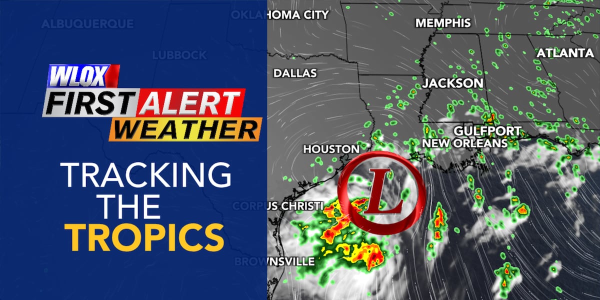
Here’s what you need to know: the National Hurricane Center’s outlook, the expected impacts on South Mississippi, and how this system will bring relief from the heat.
National Hurricane Center Monitoring Gulf Disturbance
The National Hurricane Center (NHC) is keeping a close eye on a tropical disturbance located off the east coast of Florida and Georgia. According to their latest Tropical Weather Outlook, this disturbance has a low chance of development as it moves westward. The NHC highlights areas where a tropical depression or storm may form over the next 2-7 days. It’s important to remember that this outlook is not a forecast cone of track or intensity, but rather an indicator of where environmental conditions may be conducive for development.
While the waters are warm and moisture is abundant, wind shear may inhibit the disturbance from organizing as it approaches Texas later this week. The NHC notes a brief window of opportunity for a tropical depression or storm to form before it moves inland over the Texas coastline.
Stay updated with the latest information from the National Hurricane Center, your trusted source for tropical weather information. Keep an eye on the tropics, but remember that no significant local impacts are expected in South Mississippi.
No Significant Impacts Expected for South Mississippi
For residents of South Mississippi, the good news is that no significant impacts are anticipated from this tropical disturbance. The primary effect will be an increase in tropical moisture, which will contribute to the development of daily, hit-and-miss afternoon storms from Wednesday through Friday. These storms are typical for this time of year but could be slightly more frequent due to the added moisture.
The main concern during these storms is the potential for localized heavy rainfall and lightning. Remember, if you hear thunder, seek shelter indoors immediately. Never drive through flooded roadways, as the depth of the water can be deceiving.
The disturbance will bring relief from the oppressive heat with temperatures expected to be about 5-10 degrees cooler Thursday and Friday, with highs back into the upper 80s to low 90s.
Gulf Disturbance to Bring Relief from Oppressive Heat
One of the most welcome aspects of this tropical disturbance is the relief it will bring from the oppressive heat that South Mississippi has been experiencing. High temperatures have been spiking into the upper 90s to low 100s, making outdoor activities uncomfortable and potentially dangerous. The increased cloud cover and potential for scattered storms will help to keep temperatures down.
While heat index values may still climb into the triple digits at times, the overall trend will be towards slightly cooler conditions. This break from the extreme heat will be a welcome change for those who have been struggling to cope with the high temperatures. Be aware that heat index values may still climb into the triple digits at times.
Even with the relief from the heat, it’s important to continue to take precautions to avoid heat-related illnesses. Stay hydrated by drinking plenty of water, wear light-colored and loose-fitting clothing, and avoid strenuous activities during the hottest part of the day.
Afternoon Storms to Develop Across South Mississippi
The increased tropical moisture associated with the Gulf disturbance will create an environment conducive to the development of afternoon storms across South Mississippi. These storms are expected to be scattered in nature, meaning that not everyone will experience rainfall, but those who do could see heavy downpours and lightning.
The combination of tropical moisture and daytime heating will provide the necessary ingredients for storm formation. These storms will primarily occur during the afternoon hours, when the atmosphere is most unstable. Keep an eye on the sky and be prepared to seek shelter if threatening weather approaches.
Continue to monitor local weather forecasts for the latest updates on storm development and potential impacts.
Slightly Cooler Temperatures Expected
As the tropical wave passes south of the Mississippi Coast, slightly cooler temperatures are anticipated. Highs are expected to be in the upper 80s to low 90s, which is still warm, but a noticeable improvement from the recent heat wave. This decrease in temperature will make outdoor activities more bearable and reduce the risk of heat-related illnesses.
While the immediate threat of extreme heat will diminish, it’s important to remember that heat index values may still climb into the triple digits at times. Stay informed about the forecast and continue to take precautions to protect yourself from the heat.
With cooler temperatures expected, take advantage of the opportunity to spend time outdoors, but always be mindful of the potential for afternoon storms.
Stay Informed and Prepared
In summary, a tropical disturbance tracking south of the Mississippi Gulf Coast will bring relief from the recent heat wave and an increased chance of afternoon storms. While no significant impacts are expected, it’s always wise to stay informed and prepared for any type of weather event. Monitor local weather forecasts, heed any warnings issued by local authorities, and take necessary precautions to protect yourself and your property.
The National Hurricane Center is keeping a close watch on the disturbance, and local meteorologists will provide updates as needed. Stay tuned to FYM News for the latest information. Remember, being informed is the best way to stay safe.
Enjoy the brief respite from the heat, but always be ready for the possibility of afternoon storms. With a little preparation and awareness, you can stay safe and comfortable during this weather event.
Leave a Reply